Military Bases Menu:
• UK Military Bases
RAF Odiham Information:
• History
• Current Aircraft
• Satellite View
• Trackers
• Scanner Frequencies
Location:
• Google Road Map
Travel Info:
• AA Route Finder
• National Rail
• National Express
Satnav Postcode:
• RG29 1QT
Weather Forecast:
• BBC UK Weather
• BBC Local Weather
Photographs:
• Photographs
Message Board:
• Forum
Trackers:
• Military Aircraft Tracker
• UK Military Aircraft Tracker
• Historic UK Military Aircraft Tracker
• Flight Radar 24
• Plane Finder
• ADS-B Exchange
• Military Ship Tracker
Related Links:
• RAF Odiham Station Website
• Facebook Page
• Twitter Page
• RAF Odiham Wiki
• Pb-photos Aviation Maps
Runway(s) :
• 6,030ft (09/27)
• 2,970ft (09/27) grass
• 1,630ft (05/23) grass
RAF Bases
• RAF Benson
• RAF Brize Norton
• RAF Coningsby
• RAF Cranwell
• RAF Leeming
• RAF Linton-on-Ouse
• RAF Lossiemouth
• RAF Marham
• RAF Northolt
• RAF Odiham
• RAF Scampton
• RAF Shawbury
• RAF Valley
• RAF Waddington
• RAF Wittering
RAF Bases operated by USAF
• RAF Fairford
• RAF Lakenheath
• RAF Mildenhall
Fleet Air Arm Bases
• RNAS Culdrose
• RNAS Yeovilton
Army Air Corps
• Aldergrove
• Dishforth
• Middle Wallop
• Wattisham
MoD
• Boscombe Down
Relevant Links:
• UK Military Bases Photographs
• Speed of Sound
• DSLR cameras & lens
• Airband Scanners
• Airport Scanner Frequencies
• RAF / Airshow Scanner Frequencies
• Live aviation
RAF Odiham is located east of Basingstoke in Hampshire, and is a front line support helicopter base working within the Joint Helicopter Command.
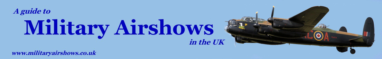
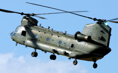
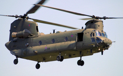
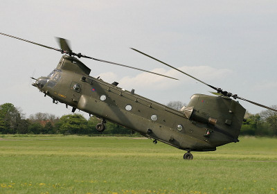
RAF Odiham is home to the UK Chinook Force and operates three Chinook squadrons. The Chinook Display Team is also based here.
The base is also home to No.1827 (Odiham) Squadron Air Training Corps, the Kestrel Gliding Club and the King's Helicopter Flight.
Approach - 131.300, 275.450 Director - 313.375 PAR - 245.625, *123.300 Tower - 119.225, 267.400 Ground - 339.825 ATIS - 370.750 *= NATO Common Frequency |
| Add Your Photographs |
 RAF Chinook.
 RAF Chinook.
 RAF Chinook.